
Water Damage Assessment & Inspection in Maple Ridge
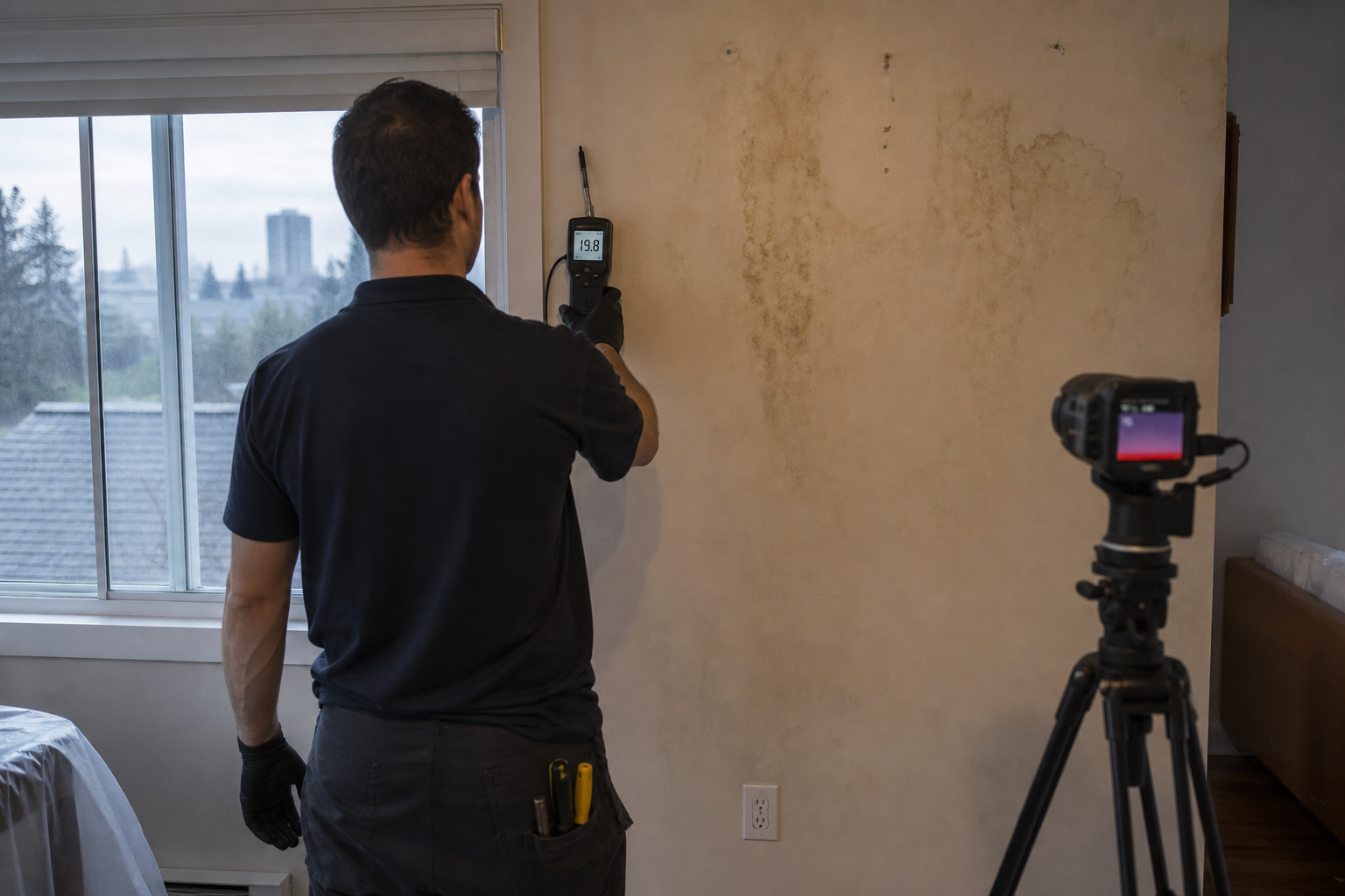
Albion wells, Hammond sumps, and Websters Corners crawls each get a Maple Ridge moisture map with readings, photos, and a category.
Albion hills shed water into window wells, and Silver Valley subdivisions do the same on a new foundation with a long footing drain. Hammond is older and closer to the Fraser, so the sump and the groundwater matter as much as the well. When the power drops, a failed sump is a Maple Ridge classic, and we write the outage if that is what you saw. Websters Corners and the rural edge add outbuildings, bare-soil crawls, and septic on some lots. Town Centre retail is a single level, so a ceiling stain is the roof showing through. Cottonwood and the older in-town streets get the same pit photo as Hammond when the pump is the question.
The moisture map separates those inlets. Meters, photos, and a thermal camera on vaulted bays. We name the category of water. This is the inspection. The record is which bay got wet, which wood, and where the water came in.
Albion hillside window well moisture map on a new foundation
Albion and Silver Valley houses take the storm through the well and along the uphill footing. We photograph the well and the grade, then we meter the wall from the floor up. The moisture map shows the uphill readings beside the downhill ones. A vaulted ceiling with a valley leak is a second block, because the paint mark sits low and the opening is higher.
The thermal camera covers the insulation we cannot reach in that vault. The well photo explains a basement that was dry at noon. Surface water is the category until a supply line adds a second inlet. We write both if both are wet.
Hammond older house moisture map closer to the Fraser
Hammond houses sit closer to the Fraser, and a sump that died in a power cut is a cause we write in the first lines. We photograph the pit, note whether the pump has power now, and meter the slab from the pit outward. Fir upstairs gets a scan too.
The moisture map separates the groundwater event from a laundry hose or a tank in a closet. Those can meet concrete that was already holding moisture, and the category still follows today's inlet. Older chimney flashing is another path, into the attic. If the ceiling is wet and the pit is dry, the page says the roof.
Websters Corners outbuilding moisture map at a rural edge
Websters Corners lots and the rural edge hide water in crawls over bare soil, in outbuildings, and sometimes in a septic field that has surfaced. We open the hatch, pin the joists, and photograph the soil. The moisture map says whether a vapour barrier is there. An outbuilding that wets a shared wall gets its own readings on that wall.
Septic is a category question, and we ask it on these lots. If the inlet is municipal and the sump failed, we write that instead. Pumps on a well, and long feeds into a shed, can freeze and split. We only name that path if the fitting supports it.
Town Centre shop roof moisture map on a one storey lid
Town Centre retail is a single level, so the lid you see is the roof. We meter it, photograph the stain and any drip, and use the thermal camera where insulation holds a cold plume past the paint. The moisture map lists bays. A flat roof drain and a leak from the unit beside you are different inlets.
The category follows what came in: rain from the roof, or a domestic line in the wall. Larger work bays out on Lougheed get that same split. We show which bay is wet and why we think so.
Questions about water damage assessment & inspection in Maple Ridge
The power was out and the Hammond sump quit. Is that on the map?
+
How do you assess a Websters Corners house built over a crawl?
+
A Silver Valley vault stain sits low on the slope. Why map higher up?
+
Other restoration work in Maple Ridge
Water Damage Assessment & Inspection in nearby cities
Get an Assessment
Tell us what happened in Maple Ridgeand we'll get back to you.
On this page
Water Damage Assessment & Inspection written for Maple Ridge houses, including Albion, Silver Valley, Hammond.
All water damage assessment & inspection details
Ready to Restore Your Property?
Burnaby's Water Damage Restoration
Specialists Are Standing By
Whether you're dealing with a flooded basement, a burst pipe, storm damage, or the aftermath of a sewage backup — our Burnaby restoration company is here to help. Call now to get an assessment and same-day emergency response.
IICRC Certified · Licensed & Insured · Serving Burnaby, BC and all of Metro Vancouver